

Glassell Park climbs. Turn off Eagle Rock Boulevard and within a couple of blocks the flat commercial strip is behind you and you’re on streets like Andrita, Toland Way, or one of the narrow cuts above Verdugo Road where the pavement bends around the hillside and the houses sit stacked on retaining walls. It’s a
Atwater Village is one of those pockets of Los Angeles that still feels like a small town somebody built a freeway around. It sits inside a bend of the LA River with Griffith Park on the far bank, the 134 running along the top edge, and San Fernando Road marking the eastern line toward Glendale.
El Sereno is one of those Northeast LA neighborhoods most of the city drives past without ever really seeing. Huntington Drive runs through the middle of it with that wide grassy median left over from the old Pacific Electric streetcar line, and if you turn off it in almost any direction you’re on a narrow
Lincoln Heights has been here longer than most of Los Angeles. The tract was subdivided back in 1873, which makes it the city’s first real residential suburb, and you can still read that history right off the street grid: narrow lots on the hillside blocks off Griffin Avenue, Victorian cottages sitting a few doors down
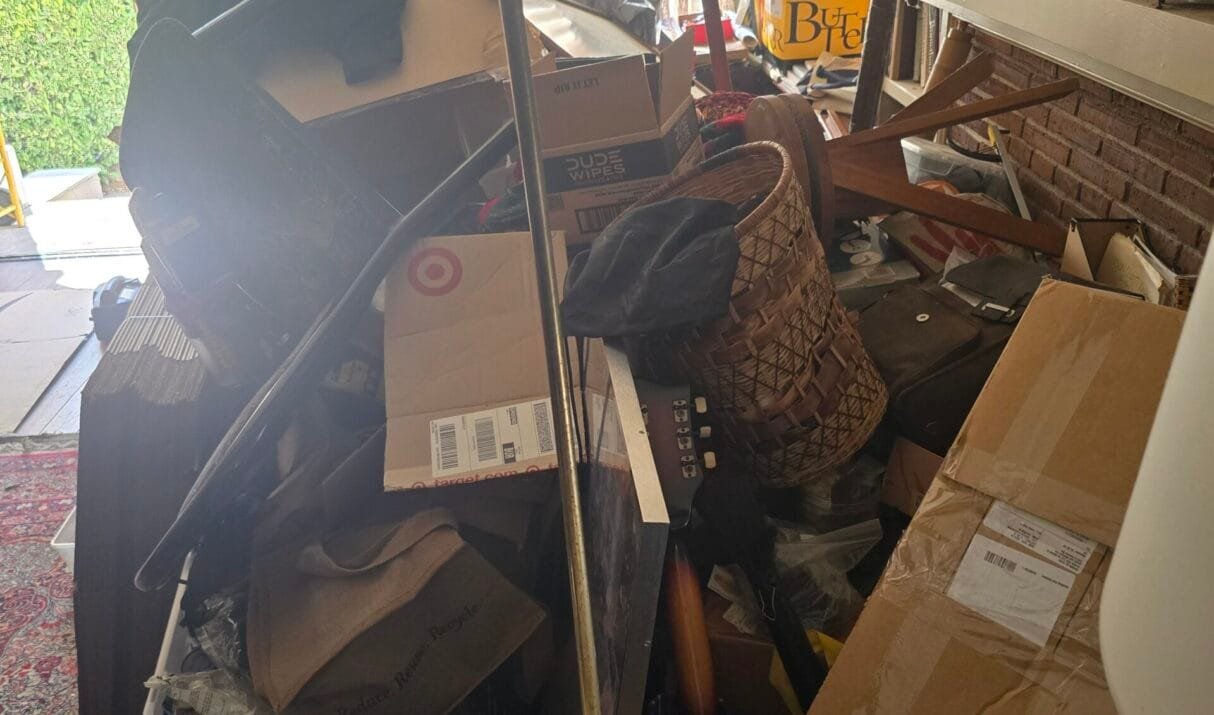
Boyle Heights sits up on the bluff just east of the LA River, close enough to Downtown that you can see the skyline from a lot of the front porches on Pennsylvania Avenue. The housing here is older than most of what you’ll find west of the 110. Queen Anne and Craftsman two-stories along South
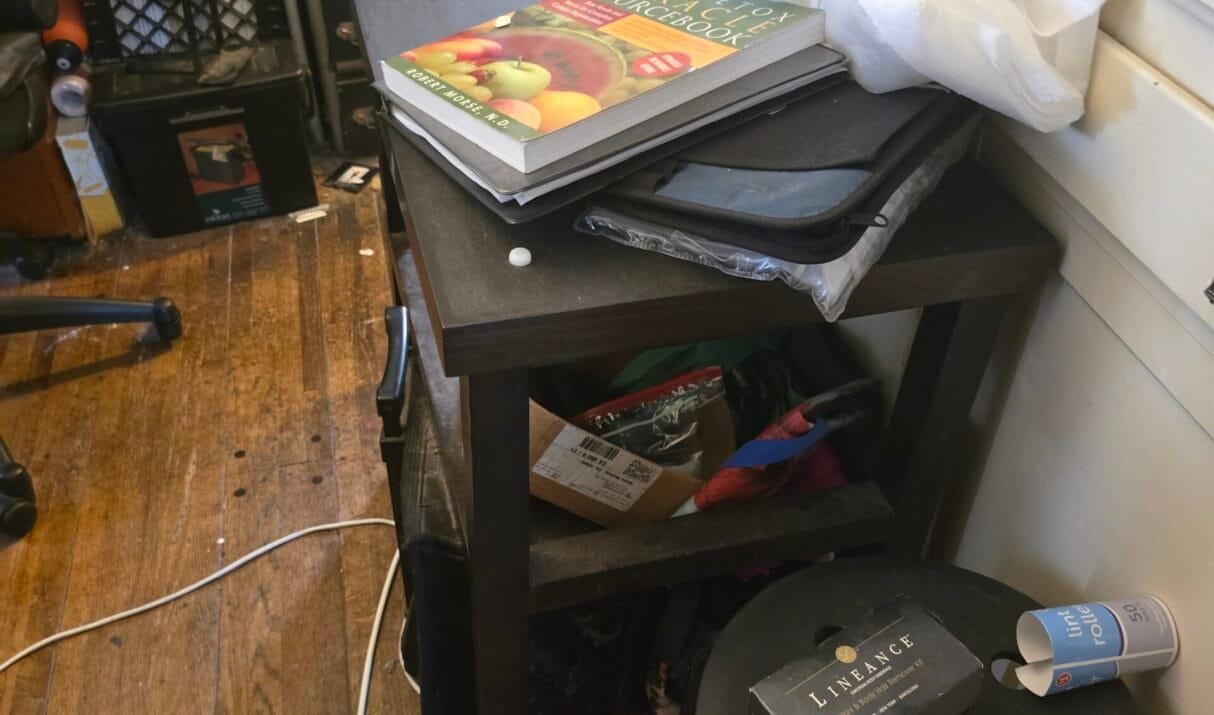
Westchester is one of those LA neighborhoods that gets defined by what’s next to it. Planes on final approach into LAX pass low overhead every few minutes, Loyola Marymount sits up on the bluff, and the Kentwood pocket in the south has some of the widest, most tree-lined streets on the westside. It’s a neighborhood